Precision Agriculture
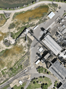
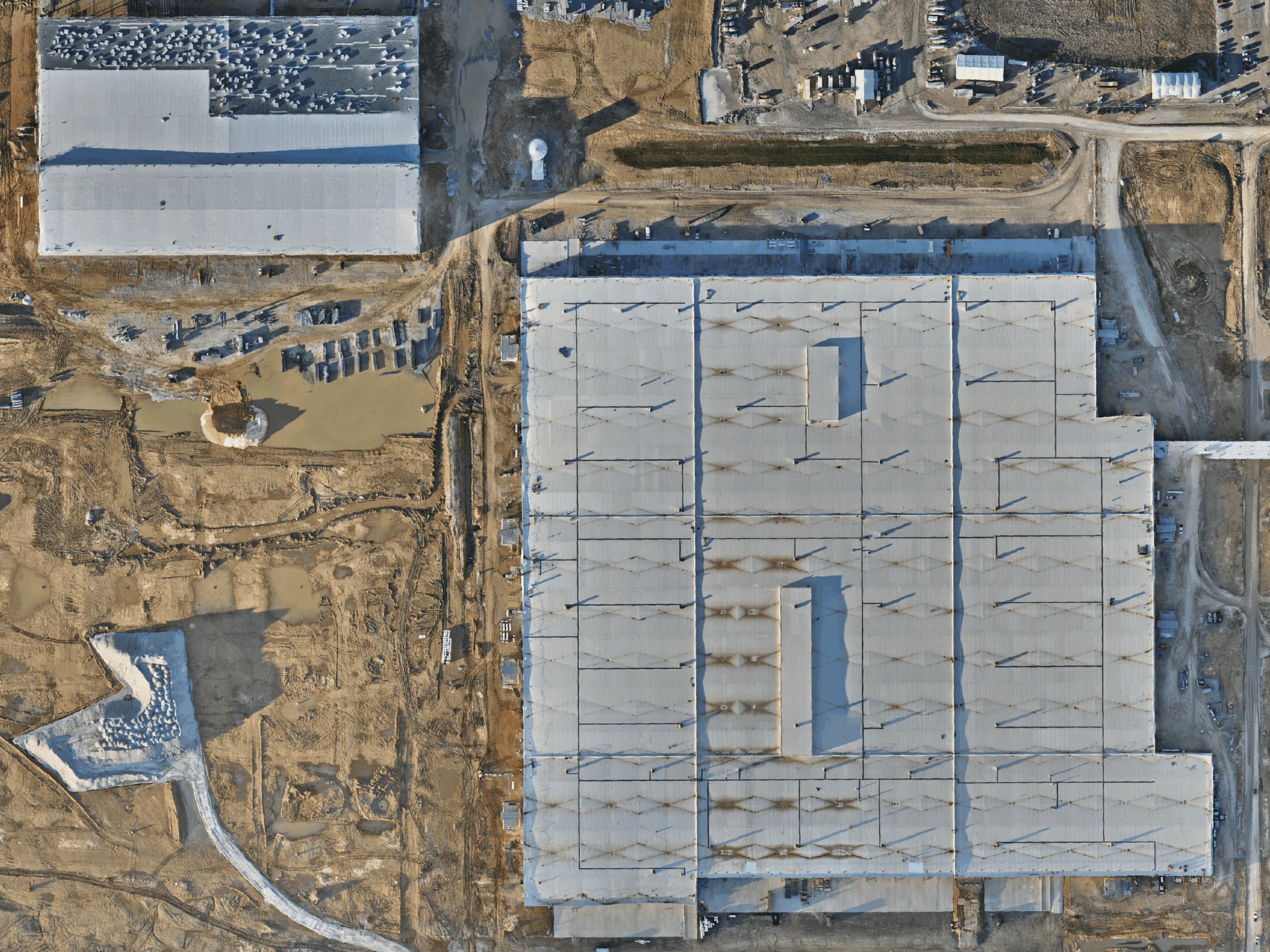
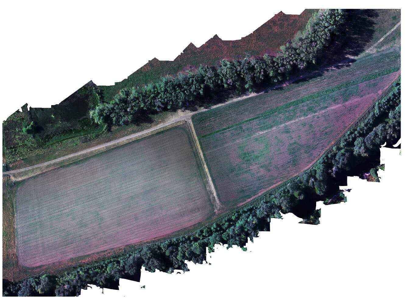
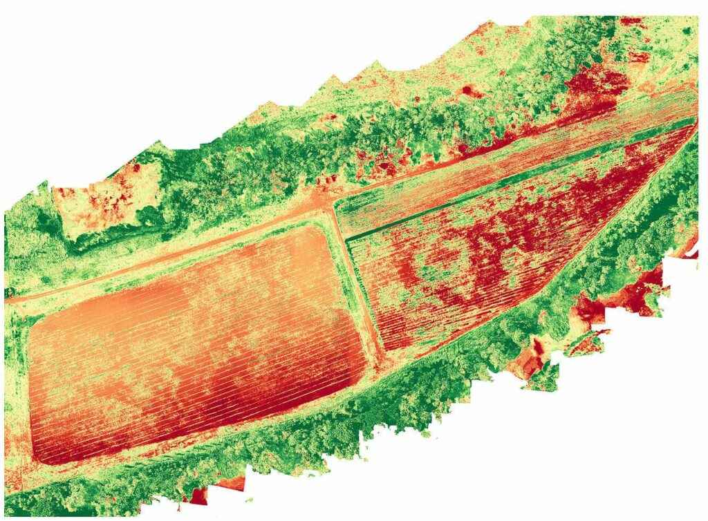
Gain real-time insights on crop health, plant stresses, and harvest estimates. Our advanced imaging gives you the full picture of your farm’s health.
Multispectral & Thermal Imaging
Soil & Field Analyses
Vegetation Indexing
Terrain Mapping
Processing, Analysis & Reporting
Anywhere. Anytime.
Real-Time Insights for Better Yields
Why Choose Blue Nose For Drone Photography Services?
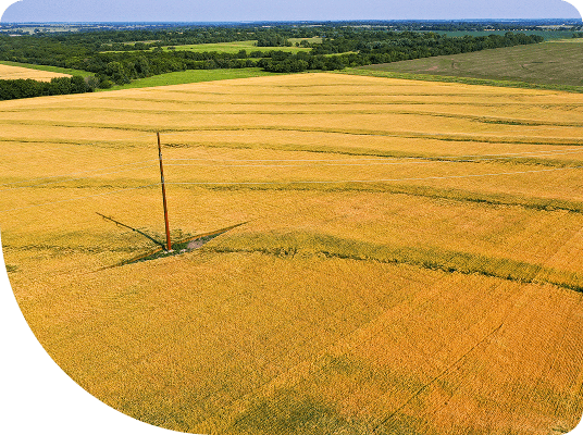
High Quality Images & Videos
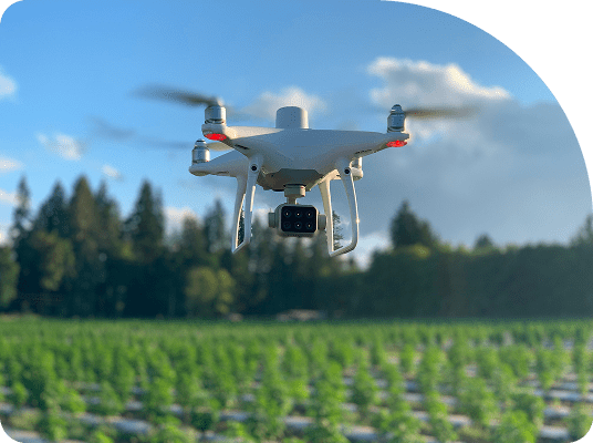
From the latest drones to the most advanced software systems – we use only the best equipment and technology to produce high-quality aerial images and cinematic footage.
Client-Centered
Our clients deserve the best! With our aerial imaging services, we always try to exceed client expectations and ensure that our clients love the end result.
Professional Pilots
Most of our franchisees are professional airline or military pilots – their rich background in aviation offers knowledge, skills, and expertise that are unmatched for drone photography services.
Trusted
We are FAA approved and trusted by major brands in several industries across the US.
Nationwide Service
We are the only franchised commercial drone services provider in the US, with over 25 franchise locations across the country. Work with our team of professional pilots anywhere in the country and get the same great experience and high-quality aerial imaging services.
Superior Customer Service
Client satisfaction remains at the heart of our organization. We believe in building long term relationships with our clients through top-notch work and superior customer service.
Our Clients. Their Success.
★★★★★
On short notice, I hired Blue Nose Aerial of Granbury to assist me with mapping 5 College Campuses in East Texas, summing approximately 200 acres. Within 4 days, the campuses were mapped, with deliverables in hand. We received nothing but professional and precision from this company, not to mention a happy client. Can’t thank them enough for the assist.
★★★★★
★★★★★
★★★★★
★★★★★
★★★★★

