
Multispectral and Agricultural analytics are the First Steps toward Precision Farming
Unlock the true potential of your land with advanced Multispectral & Agricultural Analytics designed to deliver actionable insights, improve crop health, and maximize yield. At Blue Nose Aerial Imaging, we help farmers, agronomists, and landowners make smarter, data-driven decisions using cutting-edge aerial imaging technology.
Struggling to Maximize Crop Yield and Reduce Input Costs?
Traditional farming methods often rely on guesswork leading to overuse of fertilizers, missed disease detection, and uneven crop growth. With rising operational costs and unpredictable environmental conditions, you need more than just experience, you need precision.
That's where our multispectral drone analytics step in providing real-time, accurate data to help you act fast, reduce waste, and grow healthier crops.
What is Multispectral & Agricultural Analytics?
Multispectral imaging uses drones with specialized sensors to gather information outside of the visible spectrum. This allows us to assess plant health, soil conditions, moisture levels, and other things that are not visible to the unaided eye. We produce comprehensible reports that enable improved farm management choices by fusing aerial data with sophisticated algorithms.

Key Benefits of Our Agricultural
Analytics Services

Early Crop Health Detection
Identify plant stress, disease, and nutrient deficiencies before they become visible—saving time and reducing crop loss.

Optimized Irrigation Management
Pinpoint areas with poor moisture levels to ensure efficient water usage and avoid over-irrigation.

Improved Yield & Productivity
Make precise interventions that lead to healthier crops and increased harvest output.

Cost Reduction
Reduce unnecessary spending on fertilizers, pesticides, and water by targeting only the areas that need attention.

Data-Driven Decision Making
Access detailed reports and maps that simplify complex agricultural data into actionable insights.
Our Multispectral & Agricultural Analytics Services
We offer comprehensive solutions tailored to your agricultural needs:
Each service is designed to give you a clearer picture of your land, helping you take precise and timely action.
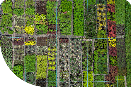
NDVI & Vegetation Index Mapping
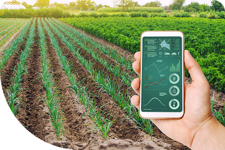
Crop Health Monitoring & Analysis
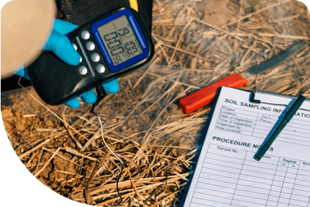
Soil Moisture & Drainage Assessment
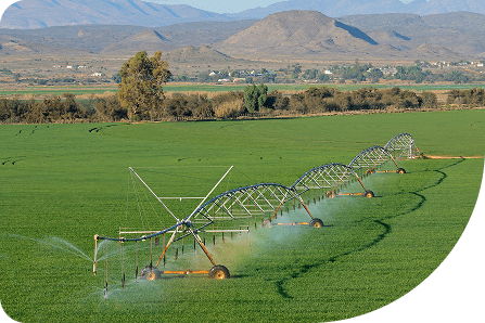
Irrigation Planning & Optimization
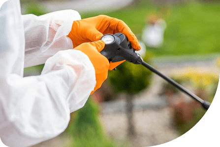
Weed & Pest
Detection
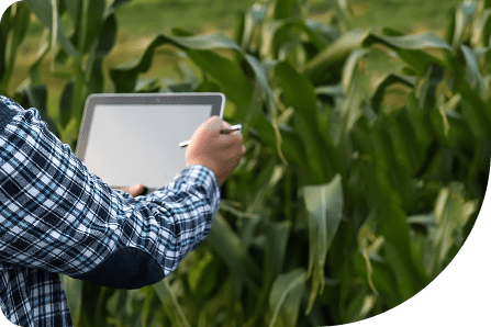
Seasonal Crop Performance Tracking
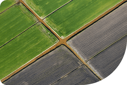
Field Variability Analysis
How Our Process Works


Consultation & Planning
We begin by understanding your farm, crop type, and specific challenges to tailor the analytics approach.


Drone Data Collection
Our advanced drones capture high-resolution multispectral images across your fields.


Data Processing & Analysis
We analyze the collected data using advanced software to generate detailed insights and reports.


Actionable Reporting
Receive easy-to-understand maps and recommendations to improve crop performance and efficiency.


Ongoing Support
We help you interpret results and refine strategies for continuous improvement.
Who We Serve

Farmers & Growers

Agricultural Consultants & Agronomists

Vineyard & Orchard Owners

Large-Scale Farming Operations

Agricultural Research Organizations

Contact Blue Nose Aerial Imaging today to schedule your consultation or request a customized quote.

Why Choose Blue Nose Aerial Imaging?

Advanced Drone Technology & Sensors
Accurate, High-Resolution Data
Fast Turnaround Times
Customized Reporting & Insights
Experienced Aerial Data Specialists
We combine innovation with expertise to deliver results you can trust.
Take Control of Your Farm's
Future Today
Don't leave your crop performance to chance. Harness the power of
Multispectral & Agricultural Analytics to make smarter decisions, increase
efficiency, and grow more with less.
Transform your farm with data-driven insights - starting now.
Our Clients. Their Success.
★★★★★
On short notice, I hired Blue Nose Aerial of Granbury to assist me with mapping 5 College Campuses in East Texas, summing approximately 200 acres. Within 4 days, the campuses were mapped, with deliverables in hand. We received nothing but professional and precision from this company, not to mention a happy client. Can’t thank them enough for the assist.
★★★★★
Working with Blue Nose and John Fulton specifically has been more than I could ask for. John was able to take on a new technology and make it seem easy to our clients. John’s, work with the NavVis has been instrumental to getting a project back on track and making our clients happy. Thank you for your hard work and dedication to customer support.
★★★★★
We needed a geographically large job done quicky and with quality, and we did indeed get that and more. The team was very easy to work with to get a time scheduled, and we are extremely happy with the quick response and excellent deliverables we received. Thank you so much for the great work!
★★★★★
We were very pleased with Rob's services. The aerial photography of our roof detailed the damage caused by Hurricane Milton, which helped in communicating with our roofer. Rob was personable, and was prompt in completing the work and emailing the photographs.
★★★★★
I am so very grateful! Hurricane Milton left us all wondering how much damage we had to our roofs. The drone shots taken of my roof were so clear and extensive I was able to rest easy. I can't thank this company enough for the peace of mind they gave me.
★★★★★
Had BNAI come take pictures after Hurricane Milton to assess if we had roof damage. They responded immediately and showed up on time. Pictures were great and showed enough detail to expedite repairs without the roofing company needing to send someone on the roof. Excellent service and really nice people!