
by bluenose | May 27, 2026 | 3D Modeling,Construction,Mapping,Roof Inspections,Solar Inspections, Construction
From manual surveys to automated oversight Construction sites are dynamic, complex and often spread across vast areas. Traditionally, progress tracking relied on ground surveys, manual measurements and written reports. These methods are slow, expose workers to hazards...
by bluenose | Apr 17, 2026 | 3D Modeling,Construction,Mapping,Roof Inspections,Solar Inspections, Construction
Publication date: April 17 2026 Mapping is at the heart of many drone missions. Whether you’re documenting the progress of a construction site, surveying a solar farm or planning a precision agriculture treatment, accurate maps allow you to make informed decisions and...

by bluenose | May 29, 2023 | Roof Inspections,Construction,Solar Inspections, 3D Modeling,Construction,Mapping,Roof Inspections,Solar Inspections
Drones equipped with thermal sensors can be extremely useful in detecting leaks in rooftops. Here’s a brief explanation of how they work: 1. Thermal Sensors: Thermal sensors are devices that can detect infrared radiation emitted by objects. They measure the...
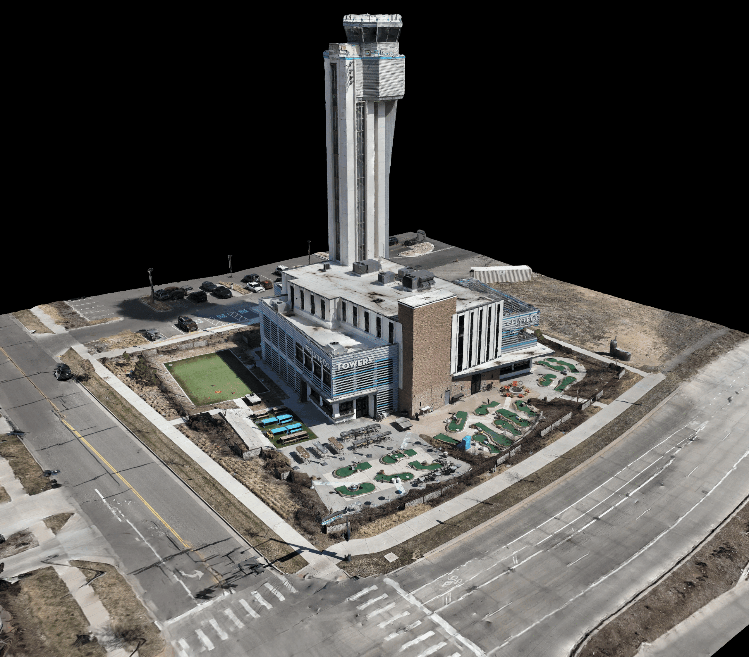
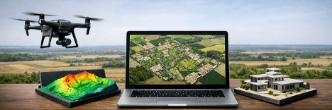
by bluenose | May 10, 2023 | 3D Modeling,Construction,Mapping,Roof Inspections,Solar Inspections, Construction
Drone technology has proven to be a powerful commercial tool, and the surveying and mapping industry has greatly benefited from it. Drones are capable of capturing data from above, making them effective in land surveys, 3D mapping, photogrammetry, topographic...